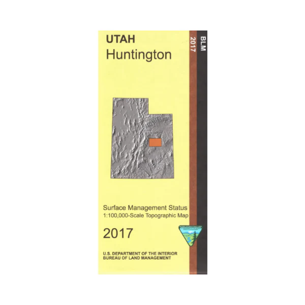
Map: Huntington UT - UT114S
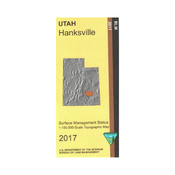
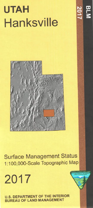
Map shows mostly BLM lands from Huntington east to the Green River and Desolation Canyon. Explore BLM lands on the Dinosaur Quarry Scenic Backway, the Wedge Overlook and Buckhorn Draw Scenic Backways with opportunities for camping, mountain biking, horseback riding, and hiking. Official Bureau of Land Management metric topographic map @1:100,000 scale (roughly 3/4"`1 mile), color-coded to show Surface Management/ownership i.e. public vs private or tribal. Map shows roads, water features, recreation sites, points of interest, and township and range lines. Use this map for hunting in the Manti, Nine Mile, and San Rafael Units. 2017
Map shows mostly BLM lands from Huntington east to the Green River and Desolation Canyon. Explore BLM lands on the Dinosaur Quarry Scenic Backway, the Wedge Overlook and Buckhorn Draw Scenic Backways with opportunities for camping, mountain biking, horseback riding, and hiking. Official Bureau of Land Management metric topographic map @1:100,000 scale (roughly 3/4"`1 mile), color-coded to show Surface Management/ownership i.e. public vs private or tribal. Map shows roads, water features, recreation sites, points of interest, and township and range lines. Use this map for hunting in the Manti, Nine Mile, and San Rafael Units. 2017
Original: $8.99
-65%$8.99
$3.15Description
Map shows mostly BLM lands from Huntington east to the Green River and Desolation Canyon. Explore BLM lands on the Dinosaur Quarry Scenic Backway, the Wedge Overlook and Buckhorn Draw Scenic Backways with opportunities for camping, mountain biking, horseback riding, and hiking. Official Bureau of Land Management metric topographic map @1:100,000 scale (roughly 3/4"`1 mile), color-coded to show Surface Management/ownership i.e. public vs private or tribal. Map shows roads, water features, recreation sites, points of interest, and township and range lines. Use this map for hunting in the Manti, Nine Mile, and San Rafael Units. 2017