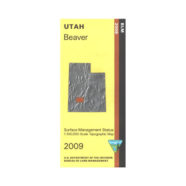
Map: Beaver UT - UT101S
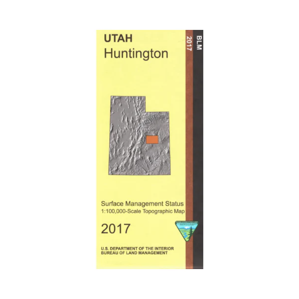
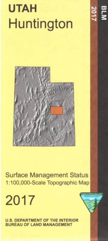
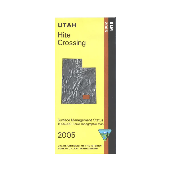
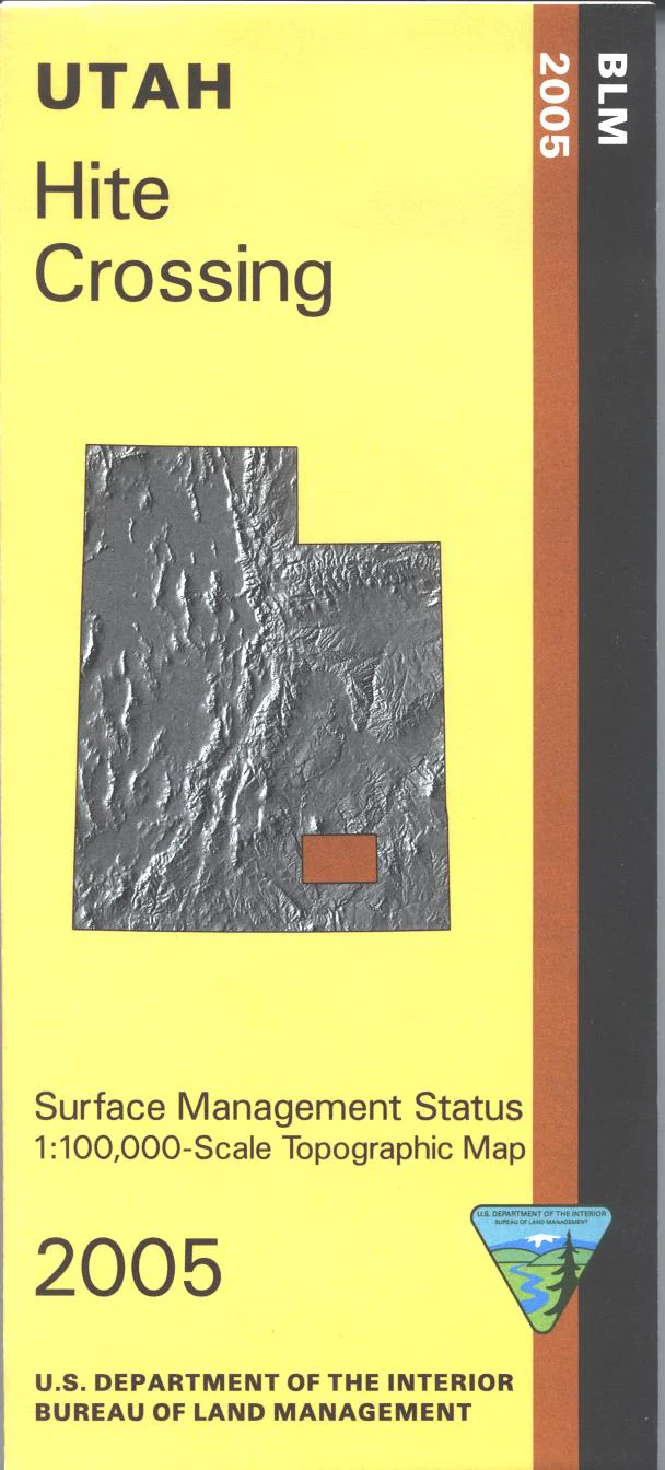
Official Bureau of Land Management metric topographic map @1:100,000 scale (roughly 3/4"`1 mile), color-coded to show Surface Management/ownership i.e. public, private, or tribal. Map shows roads, water features, recreation sites, trails, points of interest, and township and range lines.
From Beaver travel east to enjoy recreational activities in the Fishlake National Forest and Dixie National Forest. Scenic driving on Beaver Canyon Scenic Byway. The area also includes large tracts of BLM land especially between Beaver and Minersville. OHV use area is available at Otter Creek State Park east of Kingston. Use this map for OHV use, and hunting in the Beaver, Monroe, Mt. Dutton, and Panguich Lake Units. 2009
Official Bureau of Land Management metric topographic map @1:100,000 scale (roughly 3/4"`1 mile), color-coded to show Surface Management/ownership i.e. public, private, or tribal. Map shows roads, water features, recreation sites, trails, points of interest, and township and range lines.
From Beaver travel east to enjoy recreational activities in the Fishlake National Forest and Dixie National Forest. Scenic driving on Beaver Canyon Scenic Byway. The area also includes large tracts of BLM land especially between Beaver and Minersville. OHV use area is available at Otter Creek State Park east of Kingston. Use this map for OHV use, and hunting in the Beaver, Monroe, Mt. Dutton, and Panguich Lake Units. 2009
Original: $8.99
-65%$8.99
$3.15Description
Official Bureau of Land Management metric topographic map @1:100,000 scale (roughly 3/4"`1 mile), color-coded to show Surface Management/ownership i.e. public, private, or tribal. Map shows roads, water features, recreation sites, trails, points of interest, and township and range lines.
From Beaver travel east to enjoy recreational activities in the Fishlake National Forest and Dixie National Forest. Scenic driving on Beaver Canyon Scenic Byway. The area also includes large tracts of BLM land especially between Beaver and Minersville. OHV use area is available at Otter Creek State Park east of Kingston. Use this map for OHV use, and hunting in the Beaver, Monroe, Mt. Dutton, and Panguich Lake Units. 2009