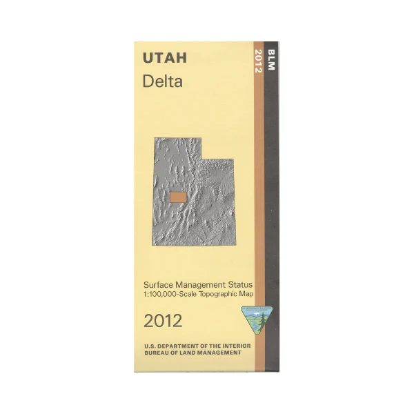
Map: Delta UT - UT106S
From Delta travel east to explore Fishlake National Forest with camping and fishing on Oak Creek, or farther south east of Holden. Explore extensive BLM lands west and south of Delta including OHV riding at Cricket Mountains OHV Trails Area, or wildlife viewing at Clear Lake WMA. Official Bureau of Land Management metric topographic map @1:100,000 scale (roughly 3/4"`1 mile), color-coded to show Surface Management/ownership, i.e. public vs private or tribal. Map shows roads, water features, recreation sites, points of interest, and township and range lines. Use this map for hunting in the Filmore, Southwest Desert, and West Desert Units. 2012
From Delta travel east to explore Fishlake National Forest with camping and fishing on Oak Creek, or farther south east of Holden. Explore extensive BLM lands west and south of Delta including OHV riding at Cricket Mountains OHV Trails Area, or wildlife viewing at Clear Lake WMA. Official Bureau of Land Management metric topographic map @1:100,000 scale (roughly 3/4"`1 mile), color-coded to show Surface Management/ownership, i.e. public vs private or tribal. Map shows roads, water features, recreation sites, points of interest, and township and range lines. Use this map for hunting in the Filmore, Southwest Desert, and West Desert Units. 2012
Original: $8.99
-65%$8.99
$3.15Description
From Delta travel east to explore Fishlake National Forest with camping and fishing on Oak Creek, or farther south east of Holden. Explore extensive BLM lands west and south of Delta including OHV riding at Cricket Mountains OHV Trails Area, or wildlife viewing at Clear Lake WMA. Official Bureau of Land Management metric topographic map @1:100,000 scale (roughly 3/4"`1 mile), color-coded to show Surface Management/ownership, i.e. public vs private or tribal. Map shows roads, water features, recreation sites, points of interest, and township and range lines. Use this map for hunting in the Filmore, Southwest Desert, and West Desert Units. 2012