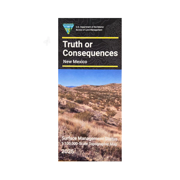
Map: Truth Or Consequences NM (SURFACE) - NM056S
Official Bureau of Land Management topographic maps @1:100,000 metric scale (roughly 3/4" = 1 mile), are color-coded to show federally-managed public lands; plus state, private, or tribal lands, military withdrawals, roads and trails, lakes, rivers and streams, and developed recreation areas. This is a great map to have while stalking game in Hunting Units 21B, 21A, 16B, 16C and 20, fishing (where available), wildlife watching, hiking, backpacking, mountain biking, camping, or OHV and ATV riding. Camping, boating, and fishing at Elephant Butte State Park.
Scenic driving on two byways close to Truth or Consequences; El Camino Real, and Geronimo Trail. Includes a section of the Continental Divide National Scenic Trail in Gila National Forest. Includes roads and lands in Sierra and Grant Counties and the southeastern portion of Gila National Forest. 2025
Official Bureau of Land Management topographic maps @1:100,000 metric scale (roughly 3/4" = 1 mile), are color-coded to show federally-managed public lands; plus state, private, or tribal lands, military withdrawals, roads and trails, lakes, rivers and streams, and developed recreation areas. This is a great map to have while stalking game in Hunting Units 21B, 21A, 16B, 16C and 20, fishing (where available), wildlife watching, hiking, backpacking, mountain biking, camping, or OHV and ATV riding. Camping, boating, and fishing at Elephant Butte State Park.
Scenic driving on two byways close to Truth or Consequences; El Camino Real, and Geronimo Trail. Includes a section of the Continental Divide National Scenic Trail in Gila National Forest. Includes roads and lands in Sierra and Grant Counties and the southeastern portion of Gila National Forest. 2025
Original: $8.99
-65%$8.99
$3.15Description
Official Bureau of Land Management topographic maps @1:100,000 metric scale (roughly 3/4" = 1 mile), are color-coded to show federally-managed public lands; plus state, private, or tribal lands, military withdrawals, roads and trails, lakes, rivers and streams, and developed recreation areas. This is a great map to have while stalking game in Hunting Units 21B, 21A, 16B, 16C and 20, fishing (where available), wildlife watching, hiking, backpacking, mountain biking, camping, or OHV and ATV riding. Camping, boating, and fishing at Elephant Butte State Park.
Scenic driving on two byways close to Truth or Consequences; El Camino Real, and Geronimo Trail. Includes a section of the Continental Divide National Scenic Trail in Gila National Forest. Includes roads and lands in Sierra and Grant Counties and the southeastern portion of Gila National Forest. 2025























