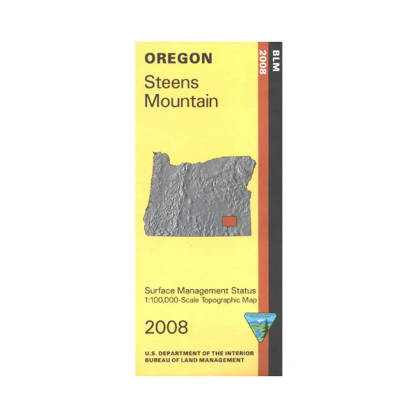
Map: Steens Mountain OR - OR053S
Map shows mostly remote BLM lands surrounding Mann Lake, and Fish Lake. Drive the Steens Mountain Back Country Byway, a loop road in the Steens Mountain Cooperative Management and Protection Area, with opportunities for camping, hiking, fishing, wild horse viewing, and wildlife viewing. Road also provides access to Malheur National Wildlife Refuge. Explore BLM lands from the Jackass Mountains east to Palomino Hills and Wildcat Canyon. Official Bureau of Land Management metric topographic map
@1:100,000 scale (roughly 3/4"`1 mile), color-coded to show surface
management, i.e. agency vs. private or tribal ownership. This map shows roads, water features, recreation sites, points of interest, and the township and range lines. Map is useful for OR Hunting Units 68 and 69. 2008
Map shows mostly remote BLM lands surrounding Mann Lake, and Fish Lake. Drive the Steens Mountain Back Country Byway, a loop road in the Steens Mountain Cooperative Management and Protection Area, with opportunities for camping, hiking, fishing, wild horse viewing, and wildlife viewing. Road also provides access to Malheur National Wildlife Refuge. Explore BLM lands from the Jackass Mountains east to Palomino Hills and Wildcat Canyon. Official Bureau of Land Management metric topographic map
@1:100,000 scale (roughly 3/4"`1 mile), color-coded to show surface
management, i.e. agency vs. private or tribal ownership. This map shows roads, water features, recreation sites, points of interest, and the township and range lines. Map is useful for OR Hunting Units 68 and 69. 2008
Original: $8.99
-65%$8.99
$3.15Description
Map shows mostly remote BLM lands surrounding Mann Lake, and Fish Lake. Drive the Steens Mountain Back Country Byway, a loop road in the Steens Mountain Cooperative Management and Protection Area, with opportunities for camping, hiking, fishing, wild horse viewing, and wildlife viewing. Road also provides access to Malheur National Wildlife Refuge. Explore BLM lands from the Jackass Mountains east to Palomino Hills and Wildcat Canyon. Official Bureau of Land Management metric topographic map
@1:100,000 scale (roughly 3/4"`1 mile), color-coded to show surface
management, i.e. agency vs. private or tribal ownership. This map shows roads, water features, recreation sites, points of interest, and the township and range lines. Map is useful for OR Hunting Units 68 and 69. 2008























