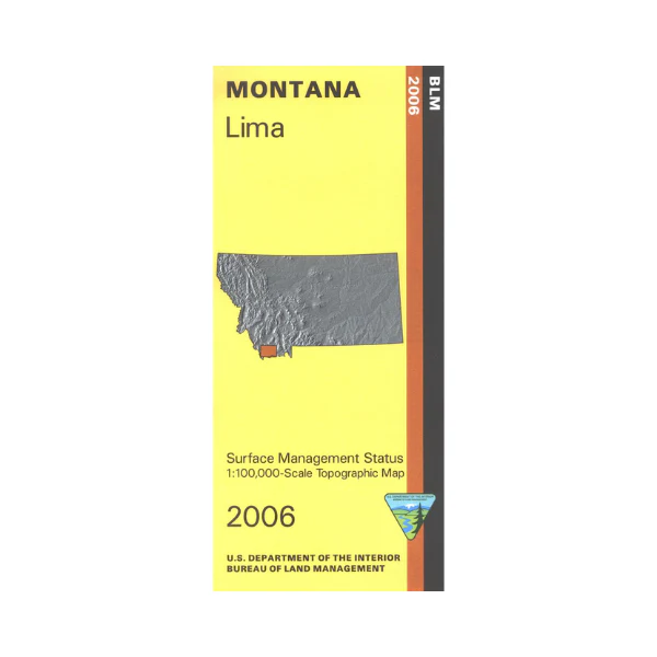
Map: Lima MT - MT1116S
From Lima travel in any direction to find sections of Beaverhead Deerlodge National Forest. Also a small section of Caribou National Forest at the Montana border is shown. Camping, fishing, boating, and hiking at Clark Canyon Reservoir Recreation Area. Explore the forest lands, camping at East Creek southwest of Lima. The Snowcrest National Recreation Trail north of Monida is marked. Also explore numerous BLM lands and state lands surrounding Lima and I-15 from Clark Canyon Reservoir south to Monida. Official Bureau of Land Management metric topographic map @1:100,000 scale (roughly 3/4"`1 mile), color-coded to show Surface Management/ownership ie agency vs private or tribal ownership. Map shows color-coded public and private ownership, roads, water features, recreation sites, points of interest, and the township and range lines. Use for OHV use, and hunting Deer and Elk in Units 300, 302, 324, 325, 326, and 327; and for hunting Moose in Units 300, 331, 332, and 333. Updated 2016.
From Lima travel in any direction to find sections of Beaverhead Deerlodge National Forest. Also a small section of Caribou National Forest at the Montana border is shown. Camping, fishing, boating, and hiking at Clark Canyon Reservoir Recreation Area. Explore the forest lands, camping at East Creek southwest of Lima. The Snowcrest National Recreation Trail north of Monida is marked. Also explore numerous BLM lands and state lands surrounding Lima and I-15 from Clark Canyon Reservoir south to Monida. Official Bureau of Land Management metric topographic map @1:100,000 scale (roughly 3/4"`1 mile), color-coded to show Surface Management/ownership ie agency vs private or tribal ownership. Map shows color-coded public and private ownership, roads, water features, recreation sites, points of interest, and the township and range lines. Use for OHV use, and hunting Deer and Elk in Units 300, 302, 324, 325, 326, and 327; and for hunting Moose in Units 300, 331, 332, and 333. Updated 2016.
Original: $8.99
-65%$8.99
$3.15Description
From Lima travel in any direction to find sections of Beaverhead Deerlodge National Forest. Also a small section of Caribou National Forest at the Montana border is shown. Camping, fishing, boating, and hiking at Clark Canyon Reservoir Recreation Area. Explore the forest lands, camping at East Creek southwest of Lima. The Snowcrest National Recreation Trail north of Monida is marked. Also explore numerous BLM lands and state lands surrounding Lima and I-15 from Clark Canyon Reservoir south to Monida. Official Bureau of Land Management metric topographic map @1:100,000 scale (roughly 3/4"`1 mile), color-coded to show Surface Management/ownership ie agency vs private or tribal ownership. Map shows color-coded public and private ownership, roads, water features, recreation sites, points of interest, and the township and range lines. Use for OHV use, and hunting Deer and Elk in Units 300, 302, 324, 325, 326, and 327; and for hunting Moose in Units 300, 331, 332, and 333. Updated 2016.























