Map: Libby MT - MT1115S
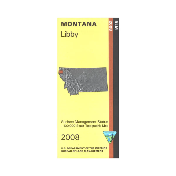
Libby is surrounded by Kootenai National Forest, with many opportunities for recreational activities available. Also a section of the East Half of Kaniksu National Forest is shown south of Troy. At Kootenai Lake east of Libby enjoy scenic driving, camping, boating, and fishing. Hiking in the Cabinet Mountains Wilderness, or exploring, scenic driving, camping, and fishing in the forest. Official Bureau of Land Management metric topographic map @1:100,000 scale (roughly 3/4"`1 mile), color-coded to show surface management, i.e. agency vs. private or tribal ownership. Map shows color coded public and private ownership, roads, water features, recreation sites, points of interest, and the township and range lines. Use this map for OHV use, and hunting Deer, Elk, and Mountain Lion in Units 100, 101, 103, 104, and 121; and for hunting Moose in Units 100, 101, 102, 104, 105, 121, and 125. 2008
Libby is surrounded by Kootenai National Forest, with many opportunities for recreational activities available. Also a section of the East Half of Kaniksu National Forest is shown south of Troy. At Kootenai Lake east of Libby enjoy scenic driving, camping, boating, and fishing. Hiking in the Cabinet Mountains Wilderness, or exploring, scenic driving, camping, and fishing in the forest. Official Bureau of Land Management metric topographic map @1:100,000 scale (roughly 3/4"`1 mile), color-coded to show surface management, i.e. agency vs. private or tribal ownership. Map shows color coded public and private ownership, roads, water features, recreation sites, points of interest, and the township and range lines. Use this map for OHV use, and hunting Deer, Elk, and Mountain Lion in Units 100, 101, 103, 104, and 121; and for hunting Moose in Units 100, 101, 102, 104, 105, 121, and 125. 2008
Original: $8.99
-65%$8.99
$3.15Description
Libby is surrounded by Kootenai National Forest, with many opportunities for recreational activities available. Also a section of the East Half of Kaniksu National Forest is shown south of Troy. At Kootenai Lake east of Libby enjoy scenic driving, camping, boating, and fishing. Hiking in the Cabinet Mountains Wilderness, or exploring, scenic driving, camping, and fishing in the forest. Official Bureau of Land Management metric topographic map @1:100,000 scale (roughly 3/4"`1 mile), color-coded to show surface management, i.e. agency vs. private or tribal ownership. Map shows color coded public and private ownership, roads, water features, recreation sites, points of interest, and the township and range lines. Use this map for OHV use, and hunting Deer, Elk, and Mountain Lion in Units 100, 101, 103, 104, and 121; and for hunting Moose in Units 100, 101, 102, 104, 105, 121, and 125. 2008























