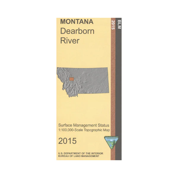
Map: Dearborn River MT - MT1054S
From Wolf Creek map shows lands west and north, including Scapegoat Wilderness, section of Lewis and Clark, Lolo, and Helena National Forests. Recreation sites and trailheads leading into the wilderness are marked, including a section of the Continental Divide National Scenic Trade. For history buffs a section of the Lewis and Clark National Historic Trail is shown, which passes through Augusta. Official Bureau of Land Management metric topographic map
@1:100,000 scale (roughly 3/4"`1 mile), color-coded to show surface
management, i.e. agency vs. private or tribal ownership. Map shows color coded public and private ownership, roads, recreation sites, water features, points of interest and the township and range lines. Use this map for hunting Deer, Elk, and Mountain Lion in Units 150, 280, 281, 284, 421, 422, 423, 424, 425 and 444; and for hunting Moose in Units 150, 280, snd 293. 2015
From Wolf Creek map shows lands west and north, including Scapegoat Wilderness, section of Lewis and Clark, Lolo, and Helena National Forests. Recreation sites and trailheads leading into the wilderness are marked, including a section of the Continental Divide National Scenic Trade. For history buffs a section of the Lewis and Clark National Historic Trail is shown, which passes through Augusta. Official Bureau of Land Management metric topographic map
@1:100,000 scale (roughly 3/4"`1 mile), color-coded to show surface
management, i.e. agency vs. private or tribal ownership. Map shows color coded public and private ownership, roads, recreation sites, water features, points of interest and the township and range lines. Use this map for hunting Deer, Elk, and Mountain Lion in Units 150, 280, 281, 284, 421, 422, 423, 424, 425 and 444; and for hunting Moose in Units 150, 280, snd 293. 2015
Description
From Wolf Creek map shows lands west and north, including Scapegoat Wilderness, section of Lewis and Clark, Lolo, and Helena National Forests. Recreation sites and trailheads leading into the wilderness are marked, including a section of the Continental Divide National Scenic Trade. For history buffs a section of the Lewis and Clark National Historic Trail is shown, which passes through Augusta. Official Bureau of Land Management metric topographic map
@1:100,000 scale (roughly 3/4"`1 mile), color-coded to show surface
management, i.e. agency vs. private or tribal ownership. Map shows color coded public and private ownership, roads, recreation sites, water features, points of interest and the township and range lines. Use this map for hunting Deer, Elk, and Mountain Lion in Units 150, 280, 281, 284, 421, 422, 423, 424, 425 and 444; and for hunting Moose in Units 150, 280, snd 293. 2015























