Map: Corvallis/Newport OR - OR014S
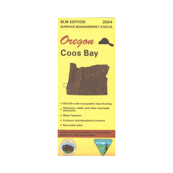
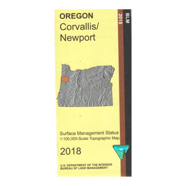
Map shows lands from Salem and Corvallis west to the coastline, and from Lincoln City south to Ona Beach State Park. Scenic drive Hwy 101, enjoy scenic views of the ocean, visit Depoe Bay's whale watching center, and camp at one of the state parks along the way. Numerous opportunities for beach walking, fishing, visiting tidal pools, and wildlife viewing as you travel. Reverse features the Pacific Coast and outlying islands.
Official Bureau of Land Management metric topographic map
@1:100,000 scale (roughly 3/4"`1 mile), color-coded to show surface
management, i.e. agency vs. private or tribal ownership.
This map shows roads, water features, recreation sites, points of interest, and the township and range lines. Useful for OR Hunting Units 15, 17, and 18. 2018
Map shows lands from Salem and Corvallis west to the coastline, and from Lincoln City south to Ona Beach State Park. Scenic drive Hwy 101, enjoy scenic views of the ocean, visit Depoe Bay's whale watching center, and camp at one of the state parks along the way. Numerous opportunities for beach walking, fishing, visiting tidal pools, and wildlife viewing as you travel. Reverse features the Pacific Coast and outlying islands.
Official Bureau of Land Management metric topographic map
@1:100,000 scale (roughly 3/4"`1 mile), color-coded to show surface
management, i.e. agency vs. private or tribal ownership.
This map shows roads, water features, recreation sites, points of interest, and the township and range lines. Useful for OR Hunting Units 15, 17, and 18. 2018
Original: $8.99
-65%$8.99
$3.15Description
Map shows lands from Salem and Corvallis west to the coastline, and from Lincoln City south to Ona Beach State Park. Scenic drive Hwy 101, enjoy scenic views of the ocean, visit Depoe Bay's whale watching center, and camp at one of the state parks along the way. Numerous opportunities for beach walking, fishing, visiting tidal pools, and wildlife viewing as you travel. Reverse features the Pacific Coast and outlying islands.
Official Bureau of Land Management metric topographic map
@1:100,000 scale (roughly 3/4"`1 mile), color-coded to show surface
management, i.e. agency vs. private or tribal ownership.
This map shows roads, water features, recreation sites, points of interest, and the township and range lines. Useful for OR Hunting Units 15, 17, and 18. 2018