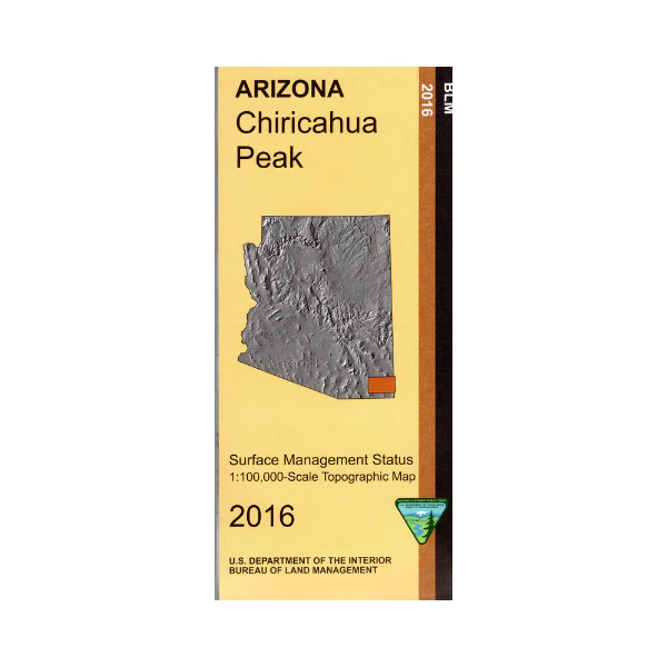
Map: Chiricahua Peak AZ - AZ110S
Differentiates between public and private land, and also among the various agencies who manage the public lands. Explore the Coronado National Forest and the Chiricahua Wilderness and Chiricahua National Monument. Explore the Dragoon Mountains west of Sunsites AZ. Enjoy camping, hiking, biking, scenic views, scenic driving in the mountains, fishing(where available), and wildlife viewing. AZ Hunting Areas 29, 30A and 30B Scale 1:100,000 (roughly 3/4 inch = 1 mile). 2016.
Differentiates between public and private land, and also among the various agencies who manage the public lands. Explore the Coronado National Forest and the Chiricahua Wilderness and Chiricahua National Monument. Explore the Dragoon Mountains west of Sunsites AZ. Enjoy camping, hiking, biking, scenic views, scenic driving in the mountains, fishing(where available), and wildlife viewing. AZ Hunting Areas 29, 30A and 30B Scale 1:100,000 (roughly 3/4 inch = 1 mile). 2016.
Description
Differentiates between public and private land, and also among the various agencies who manage the public lands. Explore the Coronado National Forest and the Chiricahua Wilderness and Chiricahua National Monument. Explore the Dragoon Mountains west of Sunsites AZ. Enjoy camping, hiking, biking, scenic views, scenic driving in the mountains, fishing(where available), and wildlife viewing. AZ Hunting Areas 29, 30A and 30B Scale 1:100,000 (roughly 3/4 inch = 1 mile). 2016.























