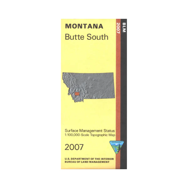
Map: Butte South MT (SURFACE) - MT1030S
From Butte travel south into the Beaverhead Deerlodge National Forest; visit Browns Lake, or Delmoe Lake east of Butte, scenic drive in the forests, and enjoy camping, fishing, or boating. Fishing sites on the Big Hole River and the Jefferson River ate shown. Explore the BLM lands south of Butte including BLM lands along the Big Hole River. For hikers a section of the Continental Divide National Scenic Trail is marked. Official Bureau of Land Management metric topographic map
@1:100,000 scale (roughly 3/4"`1 mile), color-coded to show surface
management, i.e. agency vs. private or tribal ownership. This map shows color coded public and private ownership, roads including 4WD/OHV roads, water features, recreation sites, points of interest and the township and range lines. Use this map for hunting Deer and Elk in Units 319, 320, 331, 333, 340, 341, 350, and 370; and for hunting Moose in Units 319, 320, 324, 340, 341, and 350.
2007
From Butte travel south into the Beaverhead Deerlodge National Forest; visit Browns Lake, or Delmoe Lake east of Butte, scenic drive in the forests, and enjoy camping, fishing, or boating. Fishing sites on the Big Hole River and the Jefferson River ate shown. Explore the BLM lands south of Butte including BLM lands along the Big Hole River. For hikers a section of the Continental Divide National Scenic Trail is marked. Official Bureau of Land Management metric topographic map
@1:100,000 scale (roughly 3/4"`1 mile), color-coded to show surface
management, i.e. agency vs. private or tribal ownership. This map shows color coded public and private ownership, roads including 4WD/OHV roads, water features, recreation sites, points of interest and the township and range lines. Use this map for hunting Deer and Elk in Units 319, 320, 331, 333, 340, 341, 350, and 370; and for hunting Moose in Units 319, 320, 324, 340, 341, and 350.
2007
Description
From Butte travel south into the Beaverhead Deerlodge National Forest; visit Browns Lake, or Delmoe Lake east of Butte, scenic drive in the forests, and enjoy camping, fishing, or boating. Fishing sites on the Big Hole River and the Jefferson River ate shown. Explore the BLM lands south of Butte including BLM lands along the Big Hole River. For hikers a section of the Continental Divide National Scenic Trail is marked. Official Bureau of Land Management metric topographic map
@1:100,000 scale (roughly 3/4"`1 mile), color-coded to show surface
management, i.e. agency vs. private or tribal ownership. This map shows color coded public and private ownership, roads including 4WD/OHV roads, water features, recreation sites, points of interest and the township and range lines. Use this map for hunting Deer and Elk in Units 319, 320, 331, 333, 340, 341, 350, and 370; and for hunting Moose in Units 319, 320, 324, 340, 341, and 350.
2007























