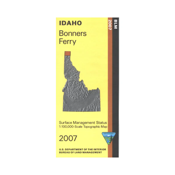
Map: Bonners Ferry ID - ID1007S
Map shows the Kaniksu National Forest surrounding Bonners Ferry ID. Includes the northern part of Priest Lake, Priest Lake State Forest, and Myrtle Creek State Game Preserve. Recreation at Priest Lake includes camping, boating, fishing, and swimming. Official Bureau of Land Management metric topographic map @1:100,000 scale (roughly 3/4"`1 mile), color-coded to show Surface Management/ownership. Map shows roads, OHV roads, recreation sites, points of interest, and waterways. Map is useful for ID Hunting Unit 1, and MT Unit 100. 2007
Map shows the Kaniksu National Forest surrounding Bonners Ferry ID. Includes the northern part of Priest Lake, Priest Lake State Forest, and Myrtle Creek State Game Preserve. Recreation at Priest Lake includes camping, boating, fishing, and swimming. Official Bureau of Land Management metric topographic map @1:100,000 scale (roughly 3/4"`1 mile), color-coded to show Surface Management/ownership. Map shows roads, OHV roads, recreation sites, points of interest, and waterways. Map is useful for ID Hunting Unit 1, and MT Unit 100. 2007
Original: $8.99
-65%$8.99
$3.15Description
Map shows the Kaniksu National Forest surrounding Bonners Ferry ID. Includes the northern part of Priest Lake, Priest Lake State Forest, and Myrtle Creek State Game Preserve. Recreation at Priest Lake includes camping, boating, fishing, and swimming. Official Bureau of Land Management metric topographic map @1:100,000 scale (roughly 3/4"`1 mile), color-coded to show Surface Management/ownership. Map shows roads, OHV roads, recreation sites, points of interest, and waterways. Map is useful for ID Hunting Unit 1, and MT Unit 100. 2007























